VFR Flight Guide Ireland 2011
Airfield Photos
The photos might seem like ‘pretty pictures’ and indeed in lots of cases they are but they are also much more that this.
The pictures are taken to give as much information as possible about the airfield.
Obviously, you can’t show both the detail of the strip AND the surrounding area, so the pictures are sized to be as close as possible while ALSO including a landmark from nearby which will help locating the airfield.
In the example photo (below) there are many clues we can use to find the strip. It’s located between two bogs. There is a forest. There is a distinctive shape on the field to the right.
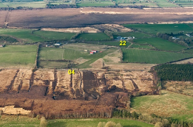
But, there’s more ! - All the fields are photographed NORTH UP. ie from the South. So if you approach the field from the south, you should see this exact view. The runway ends are clearly marked in the photo, and this will help when calling circuits, but the runway itself is not (nor is it in ‘real life’). Because the photo is from the south facing directly north this also means that the runway heading is the same as its actual heading.
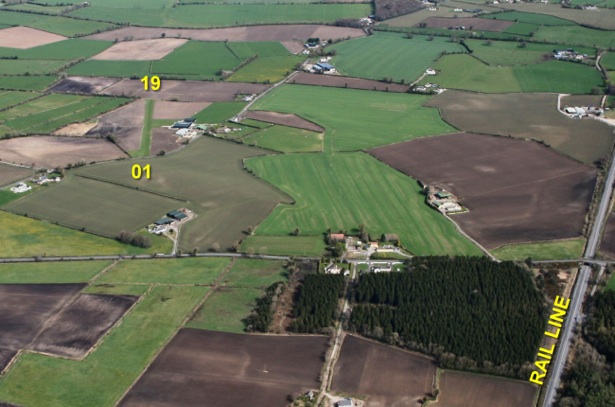
The height the photograph is taken from is again carefully considered. If the landmark is slightly distant, the photo height would be lower to try to include it, however, for E-W runways, the photo would need to be taken higher, otherwise the runway would not be properly visible. In some cases we have placed the airfield ‘off-centre’ in order to include a major landmark. (in this case the Railway line & Bridge just east of Limetree Airfield)
For some airfields you need to be both high and far away. Sligo has high ground to the south and it was important to include the lighthouse in the picture as this is a regular reporting point for the airport, so very careful photo selection was needed.
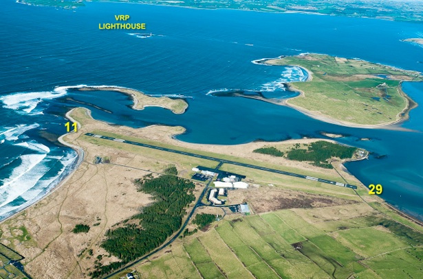
Sligo Airport